By readind the terrain, we perform:
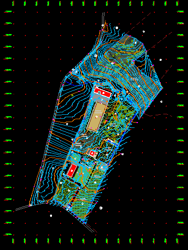
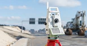
Topographic surveys
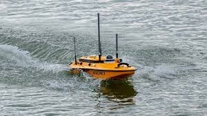
Hidraulic surveys
Georeferencing

Monitoring
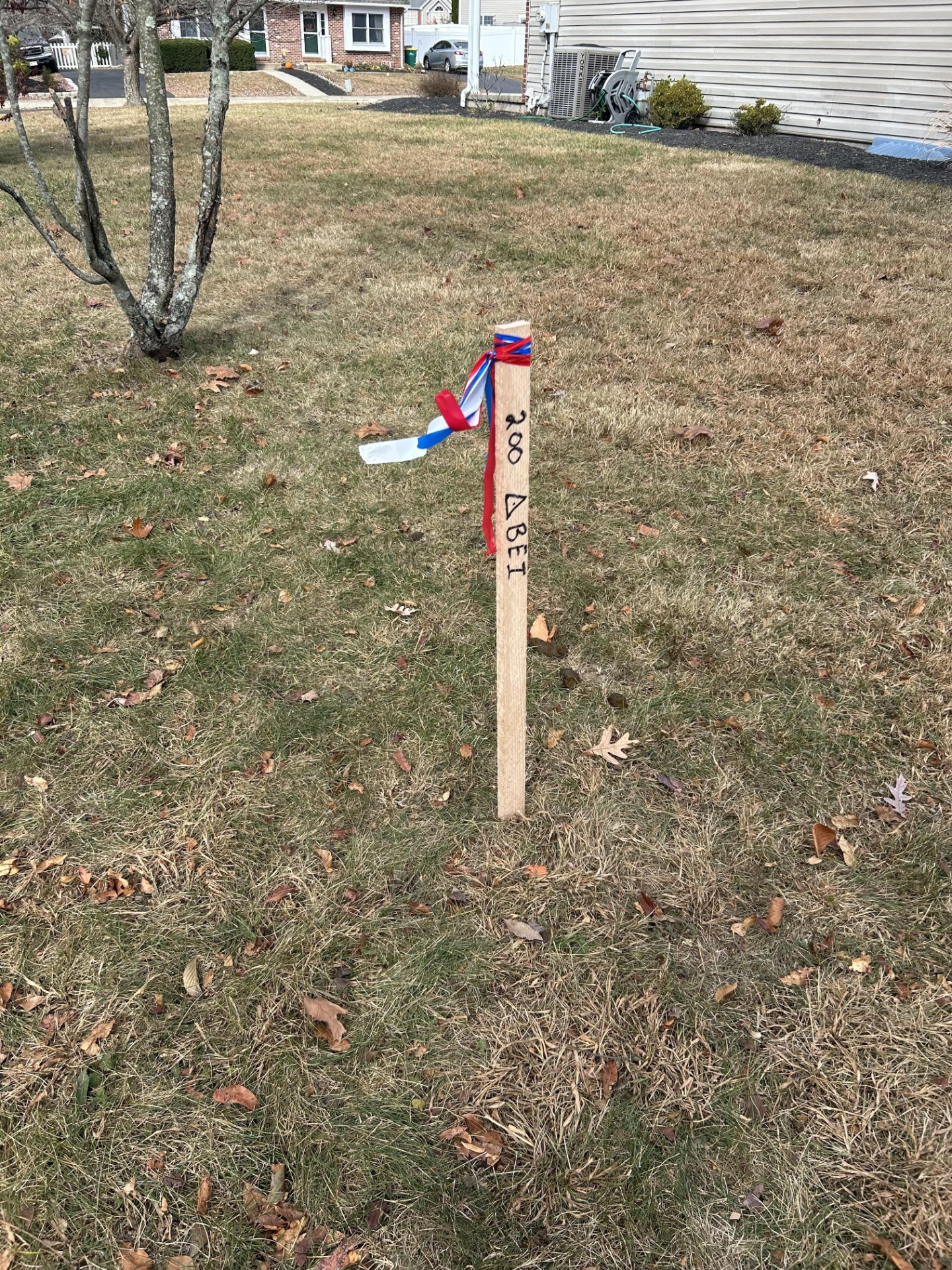
Implementation of works and points
Topographic inspetion
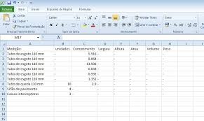
Volume calculation

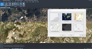
Digital consultancy
"... few know what we do, but everyone knows when we do nothing ..."

TOPOGRAPHY
Science dedicated to the study, measurement, and detailed representation of terrains and surfaces. It is the basis for engineering, architecture, and urban planning projects.
Our work provides precise data on relief, boundaries, and geographic characteristics, which ensures safety and efficiency in the execution of works.
We use advanced technology, innovative methods, and certified software to transform information into concrete solutions.