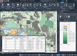
Thematic maps, where we represent the data desired by our clients
Georeferencing, where we process images and spatial data for precise positioning, as required by our clients
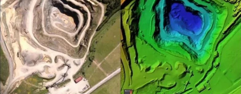
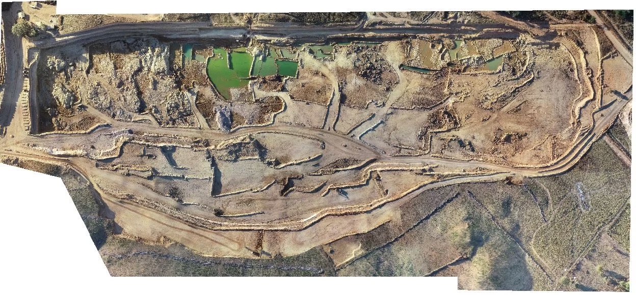
Geoprocessing, where we use software to analyze and manipulate the geographic data we collect
...

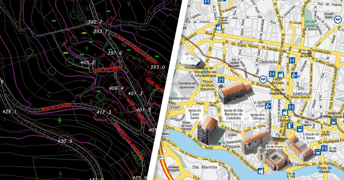
CARTOGRAPHY
Cartography is an art and scientific technique for creating graphic representations of geographic space - creating maps!!!
We go beyond ordinary drawings of places, as we transform the collected spatial data into accessible knowledge, allowing us to understand the world, we build territorial planning and explore its potential, in order to guarantee a better quality of life, specific to each case!